


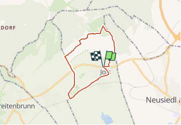

5.6 km | 6.8 km-effort

Tous les sentiers balisés d’Europe GUIDE+


FREE GPS app for hiking
 SityTrail
IGN / Geographical institutes
SityTrail World
The world is yours!
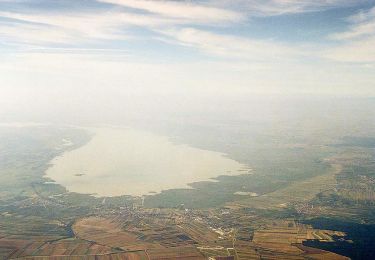
Trail On foot of 11 km to be discovered at Burgenland, Bezirk Neusiedl am See, Gemeinde Jois. This trail is proposed by SityTrail - itinéraires balisés pédestres.
Trail created by Welterbe Naturpark Neusiedler See Leithagebirge.
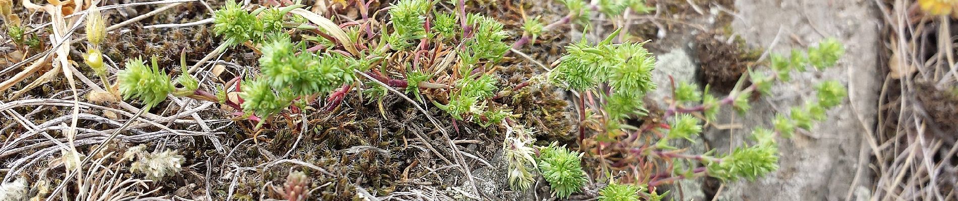
 - Photo 1")
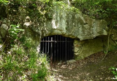
 - Photo 2")
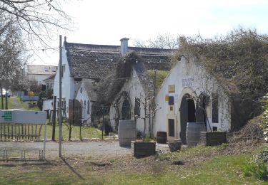
 - Photo 3")
 - Photo 4")
 - Photo 5")
 - Photo 6")
 - Photo 7")
 - Photo 8")
 - Photo 9")
 - Photo 10")
On foot
On foot
On foot